Wait please...
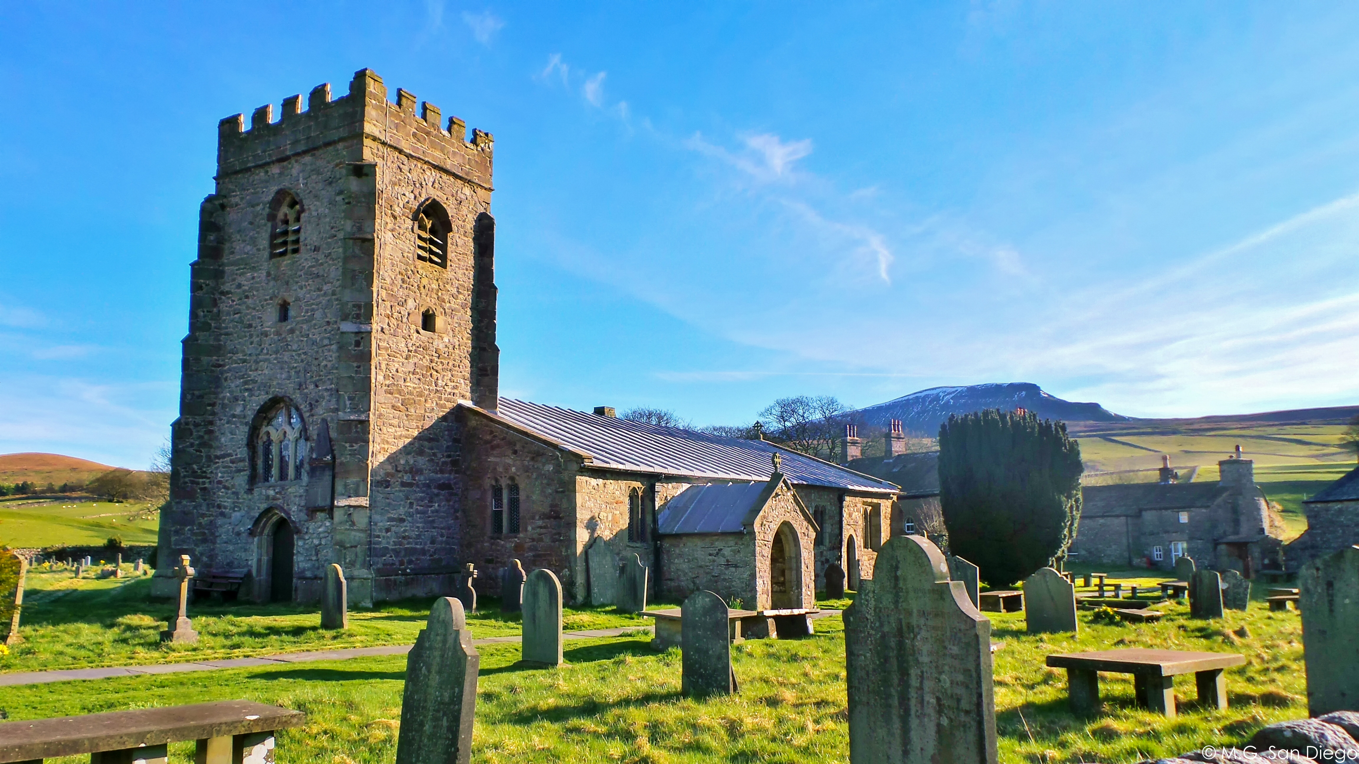 Starting point at Horton-in-Ribblesdale.
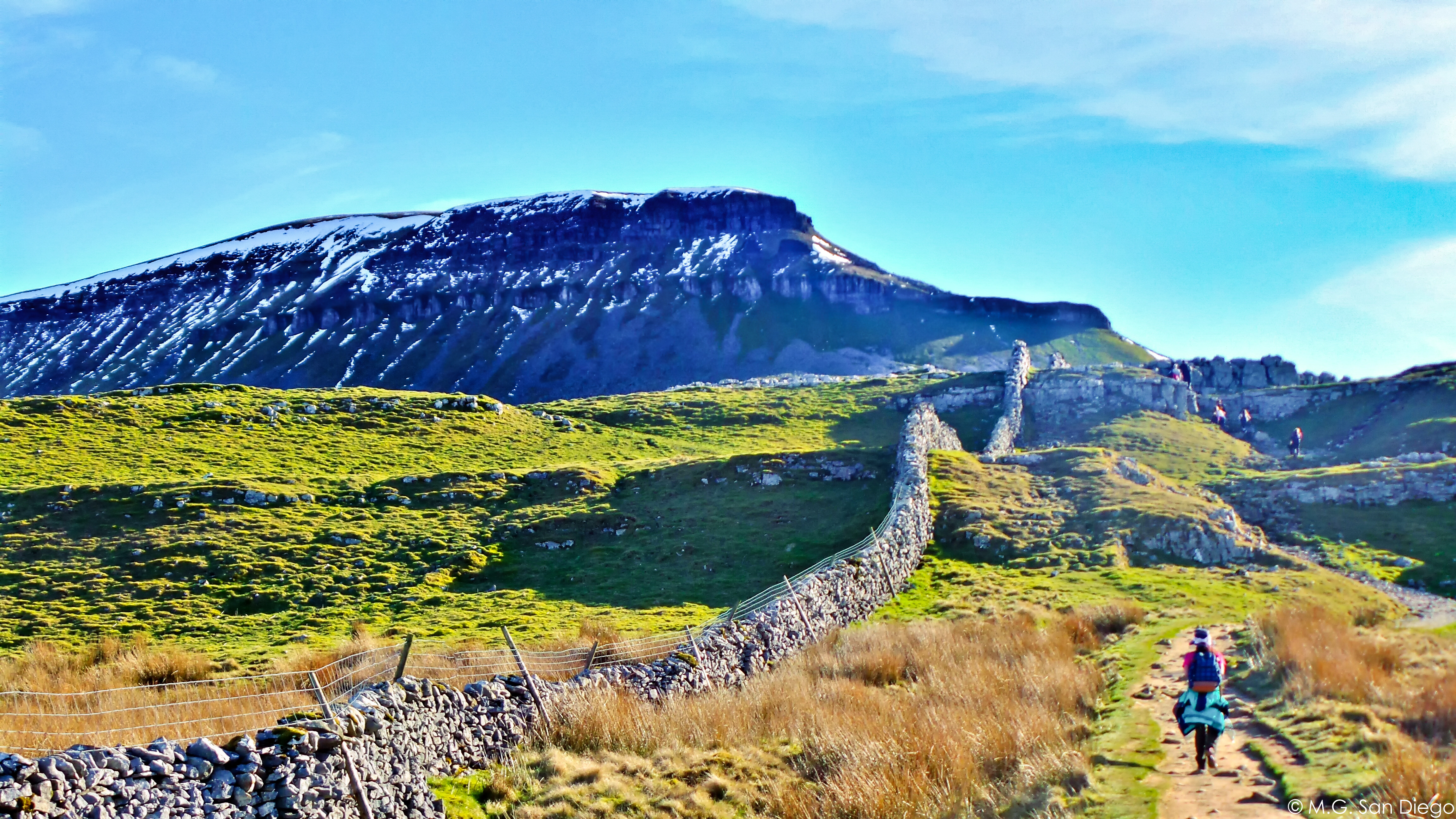 First Peak Pen-y-ghent.
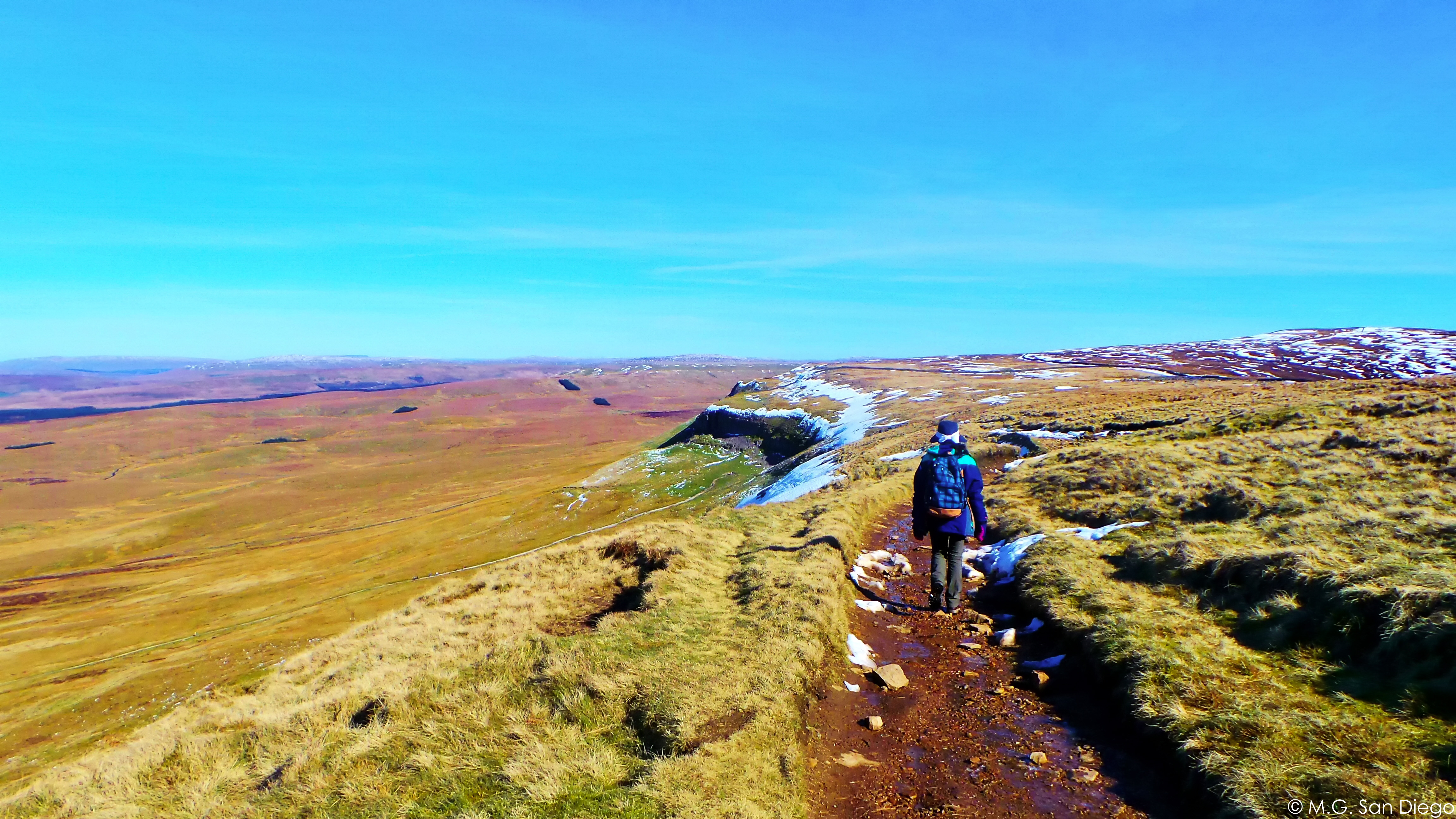 Downhill the Pen-y-ghent.
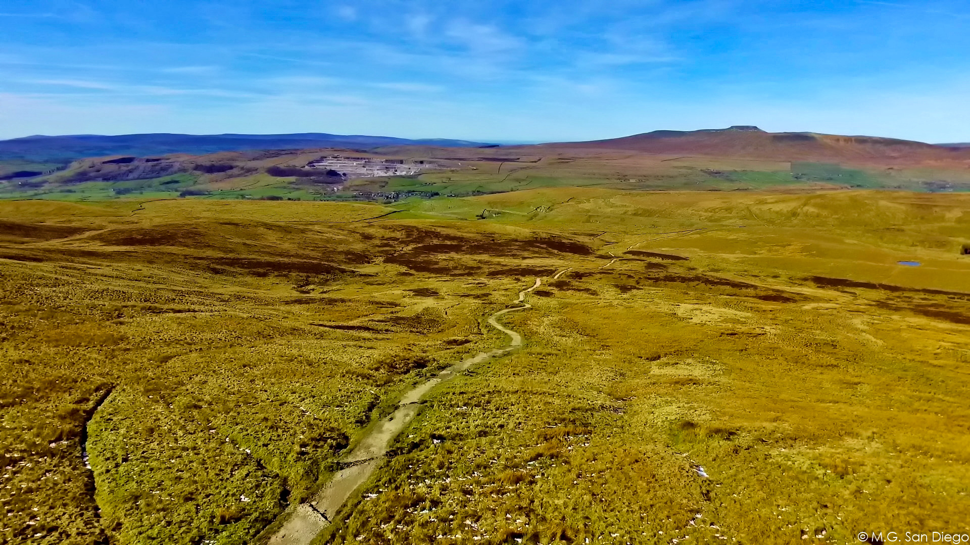 Drone Shot: On the way to Second Peak.
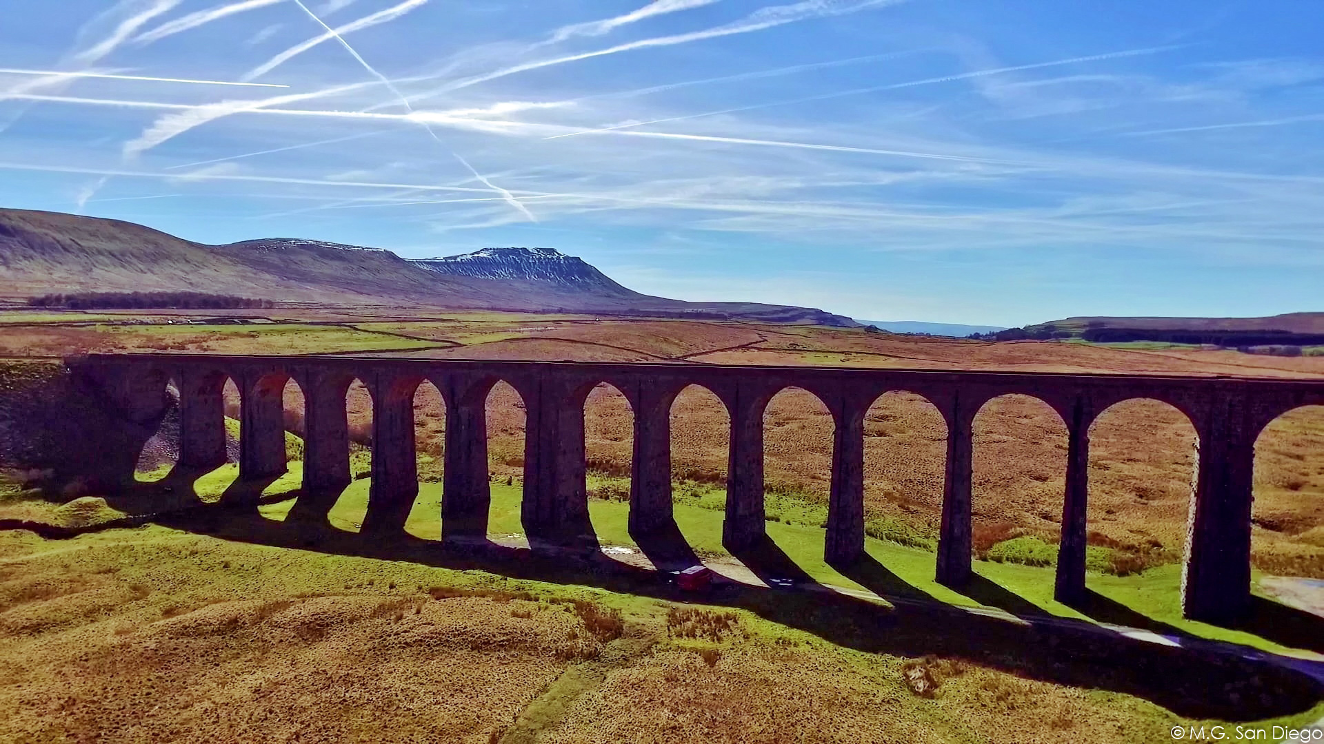 Drone Shot: Start Point of Second Peak.
 On way up Second Peak: Whernside.
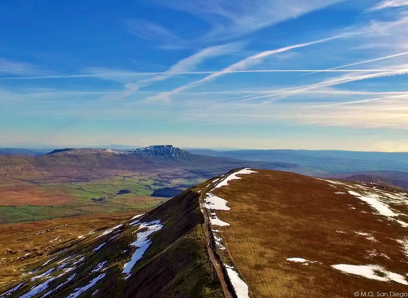 At Second Peak: Whernside.
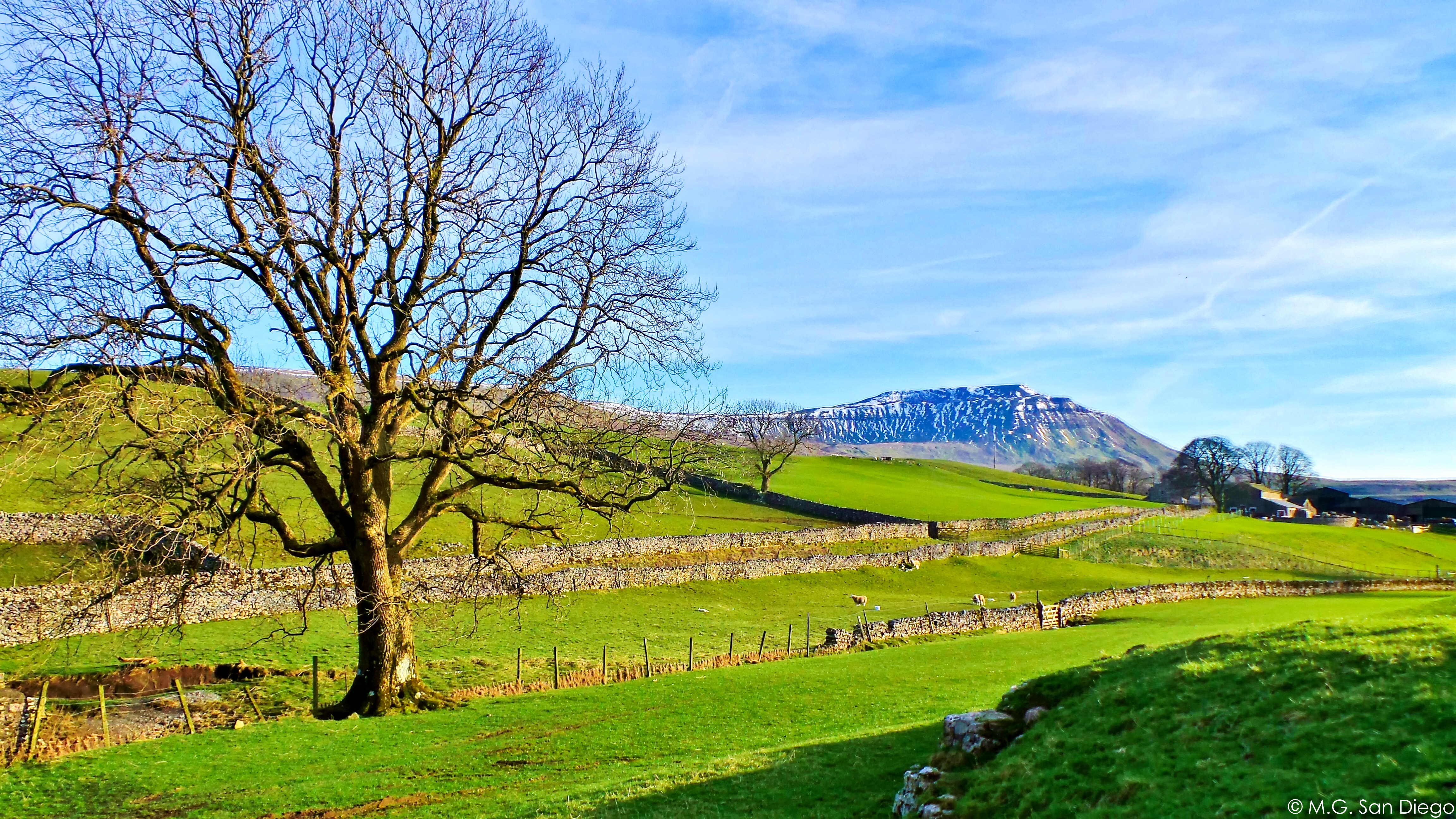 On the Way to Third Peak: Ingleborough.